| ID | 42459 |
| JaLCDOI | |
| Sort Key | 5
|
| タイトル(別表記) | DGEM: Digital Geological Elevation Model
|
| フルテキストURL | |
| 著者 |
海老 貴宏
岡山大学理学部地球科学科
松本 宏文
岡山大学理学部地球科学科
|
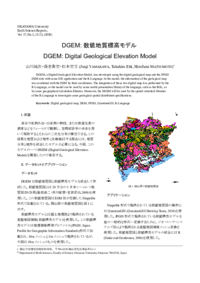
| 抄録 | DGEM, a Digital Geological Elevation Model, was developed using the digital geological map and the JPGIS DEM data with some GIS application and the R-Language. In the model, the information of the geological map was combined with the DEM by their coordinates. The integration of those two digital map was performed by the R-Language, so the model can be used by some useful presentation library of the language, such as the RGL, or
by some geographical calculation libraries. Moreover, the DGEM will be used by the spatial statistical libraries of the R-Language to investigate some geological spatial distributed specifications.
|
| キーワード | Digital geological map
DEM
JPGIS
QuantumGIS
R-Language
|
| 出版物タイトル |
Okayama University Earth Science Report
|
| 発行日 | 2010-12-24
|
| 巻 | 17巻
|
| 号 | 1号
|
| 出版者 | 岡山大学理学部地球科学教室
|
| 出版者(別表記) | Department of Earth Sciences, Faculty of Science, Okayama University
|
| 開始ページ | 21
|
| 終了ページ | 23
|
| ISSN | 1340-7414
|
| NCID | AN10506284
|
| 資料タイプ |
紀要論文
|
| OAI-PMH Set |
岡山大学
|
| 言語 |
日本語
|
| 著作権者 | © 2010 by Okayama University Earth Science Reports Editorial Committee All Rights Reserved
|
| 論文のバージョン | publisher
|
| 査読 |
無し
|
| NAID | |
| Eprints Journal Name | esr
|